LALINET
The Latin America Lidar Network (LALINET a.k.a ALINE) is a Latin American coordinated lidar network measuring aerosol backscatter coefficient and aerosol extinction profiles for climatological studies of the aerosol distribution over Latin America, as well as other atmospheric species such as ozone and water vapor. This federative lidar network aims to establish a consistent and statistically sound database for enhancement of the understanding of the aerosol distribution over the continent and its direct and indirect influence on climate.
LALINET is a contributing network to the GAW Programme.
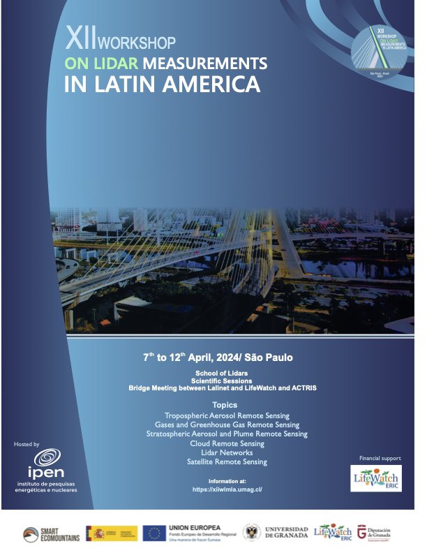
XII WLMLA
The XII WLMLA will be held in Sao Paulo, Brazil, from 7th to 12th of April 2024. This time we will have:
More details on the event webpage:
Lalinet Stations
Download Google Earth KML. Station map updated on 4/Apr/2019.